AGU 2017
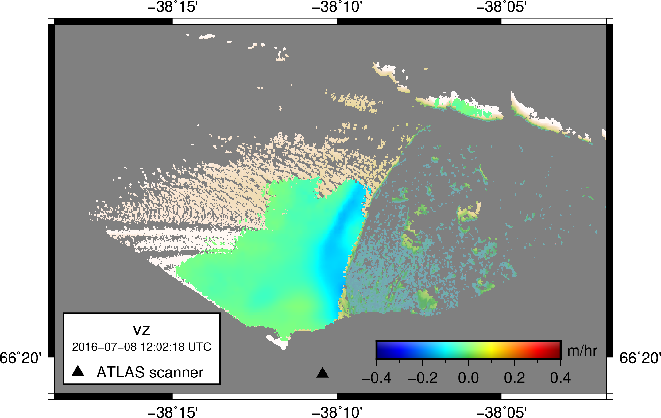
I presented a poster at the AGU 2017 fall meeting. The long-winded title was "Three summer of high-resolution, high-accuracy velocity data of Helheim Glacier, as measured by an automated terrestrial LiDAR scanner: methods, challenges, and applications." If you want to look at the PDF version of the poster, I have it here.
A few quick things I learned while making this thing:
- GMT is The Jam. As a part of this work, I had to create a velocity map for each dimension for each pair of scans, i.e. over two thousand maps. Totally undoable with a point-and-click GIS. GMT scripted everything and let me update my map styles by changing a script and running make.
- ffmpeg is some good stuff as well. I'm using it to make movies out of those maps. I have a couple of tweaks to make before I want to publish anything, but standby for those movies, they're a good way to visualize what's going on.
- Even though the AGU site says that their poster boards are 6' x 4', they're not. Make a 5' x 4' or 5' x 3 poster if you don't want to look like a giant goober.
- I'm still not totally sold on goofys for working with files in s3 buckets. On one hand, it can streamline a lot of operations. On the other hand, I find that stuff like gdal can error when trying to write to goofys mounts, forcing an extra tmp-file-then-copy-then-remove step.
All in all, though, it was a great experience and some work I'm actually proud of!